Where AI Actually Works in Wildlife Conservation
Camera trap triage, bioacoustics, ranger platforms and dark vessel detection: AI turns conservation's data backlog into a short list, but the real bottleneck is who responds when the model fires.
A single camera trap survey can return several hundred thousand photos in one season, and very often most of them show nothing but grass moving in the wind. That is the real problem AI solves in wildlife conservation: not discovering anything new about animals, but turning an impossible backlog of sensor data into a short list that a handful of biologists or rangers can actually act on.
The pattern holds across camera traps, acoustic recorders, ranger platforms and satellite monitoring of fishing fleets. Where the model only has to triage, it works well and is widely deployed. Where the hard part is a human response (a patrol, a ship slowing down, a prosecution), the AI is rarely the bottleneck, and better models do not fix it.
Camera traps: the most mature use of AI in conservation
Motion-triggered cameras are cheap, and that is the problem. A project with a few dozen cameras on a multi-month deployment easily produces six or seven figures of images. Before machine learning, volunteers and graduate students labeled them by hand, and surveys commonly sat unanalyzed for a year or more.
Detect first, classify second
The approach that won is a two-stage cascade. The first stage is MegaDetector, an open-source object detector that started at Microsoft's AI for Earth program and is now maintained in the open. It deliberately does not identify species. It only draws boxes around three classes: animal, person and vehicle. That narrow scope is why it generalizes: "is there an animal in this frame" transfers across rainforests, savannas and suburban backyards far better than "is this a sambar or a red deer."
The second stage classifies the cropped detections. Google's SpeciesNet, which has powered the Wildlife Insights platform since 2019, was open-sourced under Apache 2.0 in March 2025. It is an EfficientNet V2 M classifier trained on more than 65 million images, with roughly 2,500 output labels that include not just species but higher taxa ("felidae", "mammalia") and non-animal classes like "blank" and "vehicle". In Google's own evaluation, the cascade found an animal in 99.4% of images that contained one, committed to a species-level label 83% of the time, and was right on about 94.5% of those species-level calls.
The design detail worth copying
Read those numbers carefully. The model does not label every image at the species level. When it is unsure, it rolls the prediction up the taxonomy: "some kind of cat" rather than a confident wrong guess of "leopard". It also uses a geographic filter, so a classifier running on cameras in Kenya will not report a species that only occurs in Brazil. For an ecologist building occupancy models, a correct "felidae" is useful and a wrong "leopard" is poison, because it silently corrupts the population estimate.
This is the same lesson that shows up wherever computer vision gets deployed in the field: the system is judged on how it fails, not on its headline accuracy.
Where it still falls short
- Rare species are the hard case and the important case. A classifier trained on tens of millions of images has seen plenty of deer and wild boar and very few pangolins. The animals conservationists care most about are often the ones with the least training data. That is why the Wildlife Observatory of Australia retrained the open SpeciesNet weights on local species the base model did not cover.
- Domain shift is per camera. A new site, a new camera model, infrared night shots or a lens fogged by humidity all degrade accuracy in ways a global benchmark does not show. Most serious projects still validate a sample by hand at every new deployment.
- The metadata is messier than the pixels. Camera clocks drift or reset to a factory date after a battery swap, and an occupancy analysis built on wrong timestamps is wrong regardless of how good the classifier is. Checking capture times with an EXIF viewer against field deployment logs is an unglamorous but standard cleaning step.
Bioacoustics: listening instead of looking
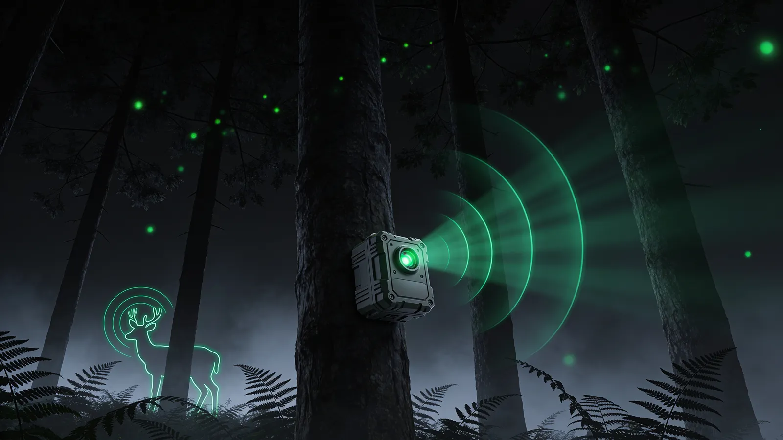
Sound travels through dense forest and murky water where cameras see nothing, and passive recorders can run for months. The modeling trick is to convert audio to a spectrogram, which turns a sound into an image, and run an image classifier over it.
Birds, chainsaws and whales
BirdNET, developed by the Cornell Lab of Ornithology and Chemnitz University of Technology, identifies thousands of bird species from recordings and is used both by researchers processing months of field audio and by the public through phone apps. Merlin's Sound ID from the Cornell Lab brought the same idea to birders.
Rainforest Connection took a different angle: solar-powered "Guardian" devices built from repurposed smartphones, mounted high in the canopy, listening for chainsaws and vehicle engines and pushing real-time alerts to forest rangers. Here the target is not wildlife at all but the sound of illegal logging.
In the ocean, Whale Safe runs in California's Santa Barbara Channel, a busy shipping lane that overlaps blue, humpback and fin whale feeding grounds. A buoy with a hydrophone and an onboard computer detects whale calls and relays them by satellite in near real time. Those detections are combined with visual sightings and a blue whale habitat model into a daily presence rating, and ships are asked to slow to 10 knots, which sharply reduces the chance a strike is fatal.
What the whale case actually shows
Whale Safe is a clean illustration of the thesis. The AI part works: the buoy hears whales nearly every day of peak season. But the speed limit is voluntary, and public reporting from the project showed cooperation improving from roughly half of ship transits to around 60%, which still leaves a large share of ships moving fast through whale habitat. Detection got cheap and fast. Behavior change did not.
Acoustic monitoring also has its own failure modes: overlapping dawn choruses, regional call dialects, rain and insect noise that drive false positives, and per-species confidence thresholds that have to be tuned by hand. And because these devices sit far from power and bandwidth, running the model on the device and sending only detections is often the only option, which brings the familiar constraints of on-device inference into a waterproof box strapped to a tree.
Protected-area operations: the response is the bottleneck
EarthRanger, built and run by the Allen Institute for AI (Ai2) and free to its users, is the most widely deployed piece of conservation software most people have never heard of. Ai2 says it now runs in more than 900 protected areas across 95 countries. It is less a model than a data-fusion layer: GPS collar tracks, ranger patrol positions, camera and acoustic alerts, radio check-ins and incident reports land on one live map in a control room.
Around it sit more targeted tools. Some anti-poaching cameras run person detection on the device and transmit only when they see a human, which saves battery and satellite bandwidth and keeps rangers from wading through thousands of animal photos. Research systems such as PAWS, from Milind Tambe's group, combined machine learning on historical snare finds with game theory to suggest patrol routes, and were field-tested in Ugandan national parks.
The limits here are mostly not technical:
- Alerts need someone to respond. A detection at 2 a.m. in a remote sector is only valuable if a patrol can reach it. Many parks have far fewer rangers per square kilometer than any recommended ratio.
- Prediction can shift the problem. If patrols concentrate on predicted hotspots, poachers adapt. That is exactly why the PAWS work modeled it as an adversarial game rather than a static forecast.
- The data itself is sensitive. A live map of collared rhinos and ranger positions is extremely valuable to a poaching syndicate. Access control and operational security matter as much as model quality.
Oceans: finding the boats that do not want to be found
Commercial vessels broadcast their position over AIS, but nothing stops a fishing boat from switching it off. A 2024 study in Nature by Global Fishing Watch and partners, mapping industrial activity at sea with satellite radar and optical imagery plus deep learning, found that about 75% of global industrial fishing activity is not publicly tracked. That is the kind of result only machine learning at scale could produce: billions of square kilometers of imagery, far beyond any human analyst.
Ai2's Skylight turns similar detection into an operational tool for coastal states, flagging likely dark vessels and suspicious rendezvous for fisheries agencies. The pipeline looks a lot like the one used in satellite imagery work in aerospace: detect objects in radar and optical tiles, match them against AIS tracks, and surface the mismatches.
Again the gap is downstream. Flagging a dark vessel inside a country's exclusive economic zone does nothing if that country has one patrol boat for a coastline thousands of kilometers long, or if the vessel is in waters where no one has jurisdiction.
Where each application actually stands
| Application | What the model does | Maturity | Main bottleneck |
|---|---|---|---|
| Camera trap triage | Drop empty frames, label species or roll up to a taxon | Production, widely used | Rare species, per-site domain shift, timestamp hygiene |
| Bird and wildlife acoustics | Classify calls from spectrograms | Production for common species | False positives, regional dialects, tuning thresholds |
| Illegal logging detection | Detect chainsaw and engine sounds on device | Deployed in specific forests | Power, connectivity, response time |
| Ship strike prevention | Detect whale calls, build daily presence rating | Deployed in a few shipping lanes | Voluntary compliance by ships |
| Protected-area operations | Fuse collar, patrol and sensor data on one map | Widely deployed | Ranger capacity, data security |
| Dark vessel detection | Find untracked boats in satellite imagery | Research proven, early operational use | Enforcement capacity, jurisdiction |
| Individual animal ID | Match flukes, spots or stripes across photos | Mature for a few species | Needs good photos and curated reference catalogs |
The takeaway
If you are building or funding AI for conservation, the useful question is not "how accurate is the model" but "what happens after the model fires." The deployments that work share three traits: a coarse, generalizable first stage (is there an animal, a chainsaw, a boat), a classifier that is allowed to say "I am not sure" and defer to a human, and a pre-existing team with the time and authority to act on the output. Camera trap triage succeeds because the response is a biologist at a desk. Anti-poaching and fisheries enforcement struggle because the response is a boat or a patrol that may not exist. Spend accordingly.
Try it
Free, in your browser, no sign-up.
New posts by email
One email when a new post goes up. No other mail; unsubscribe in one click.
We store your email only to send new posts. See the privacy policy.